Here comes another blog about my travels with my friends. We planned this trip almost a month or two ago in advance. This time the calling was from blackforest hiking trails with three days to spare. However, our main goal was to hike the famous hiking trail in Bernau, Germany: Hochtal Steig.
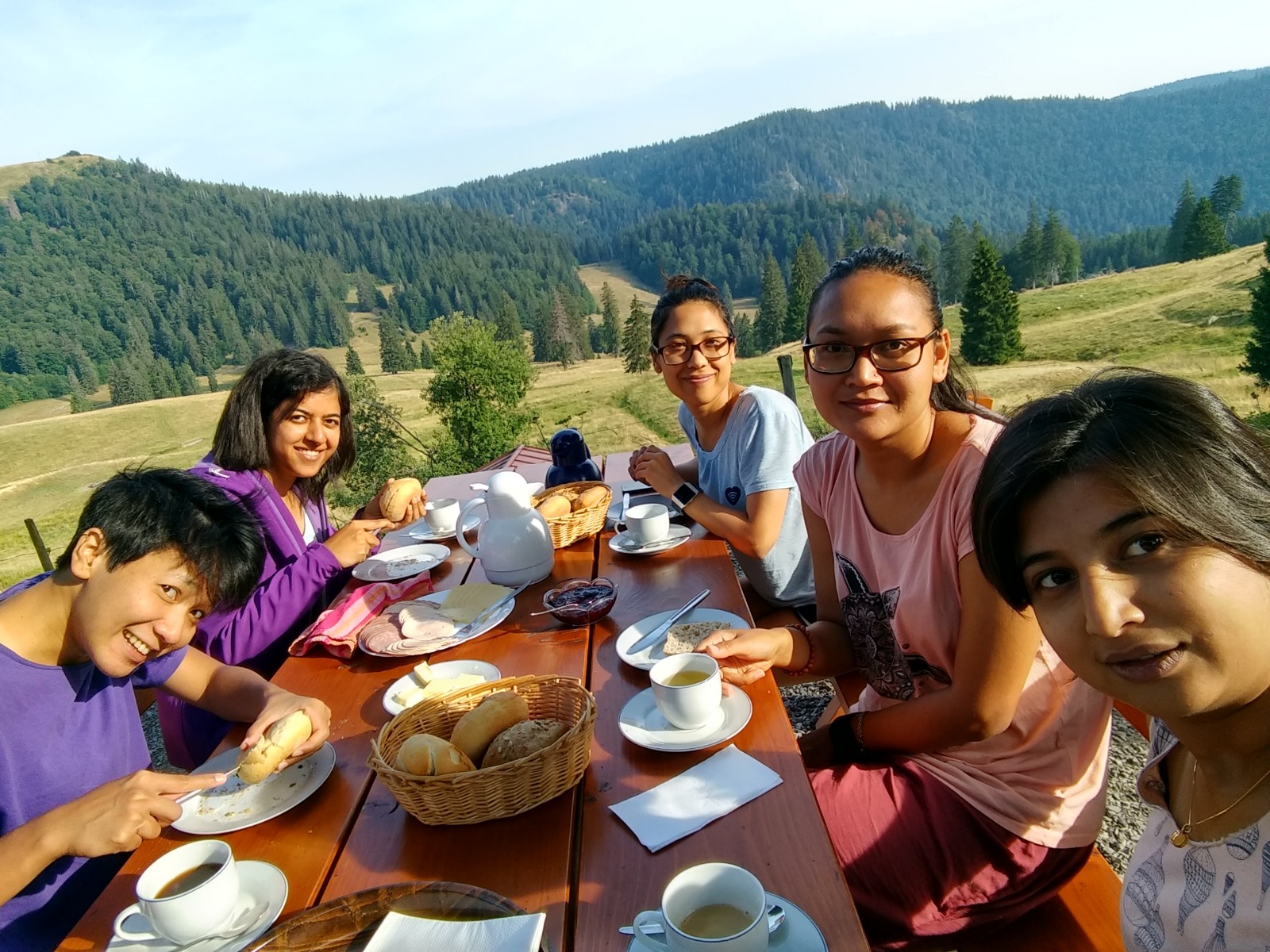
For this, we stayed in a Krunkelbachhuette. This hut was on the trail. It was a very nice place to stay but with some strange people who were hosting it. Again, this is a story for another time. Our stay there was nonetheless enjoyable. What is better than eating breakfast with your close friends and beautiful nature, right?
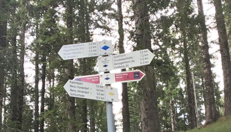
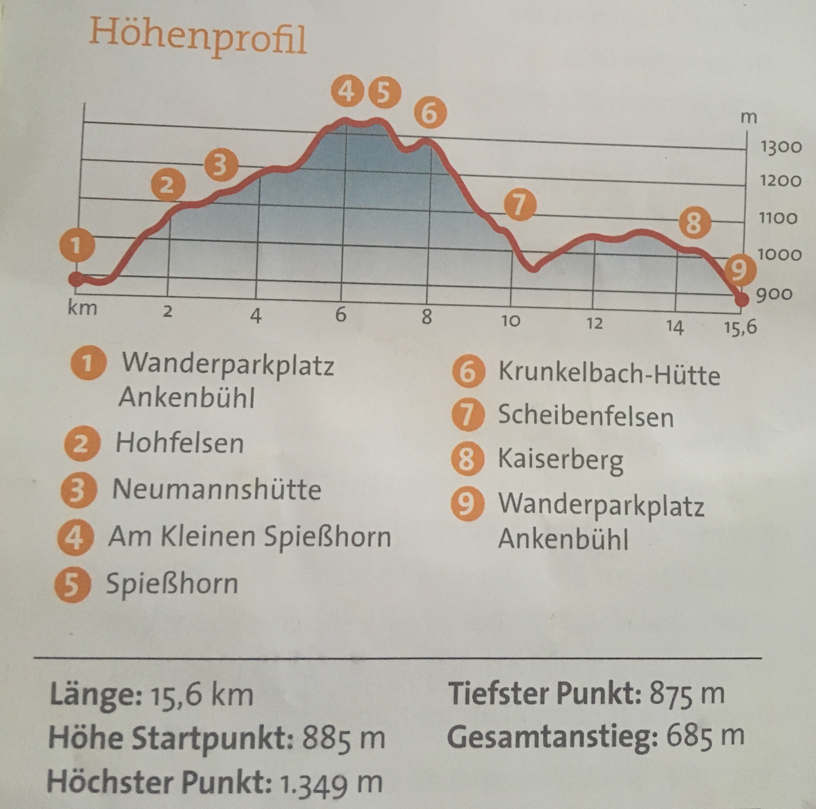
So, about the hike. It was a 15.6 km hike. Normally people would take hike from one to seven. But, we were already at number 7, that is where our hut was. So, ideally we could take the trail from 7-6-5 and so on and back to 7. But, when you look at the elevation profile the elevation from 7 to 6, it is too steep for that short area. So we decided to take another route from 7-8-9 and back again to 7. Then this elevation from 6-7, we could just climb down instead of climbing up.

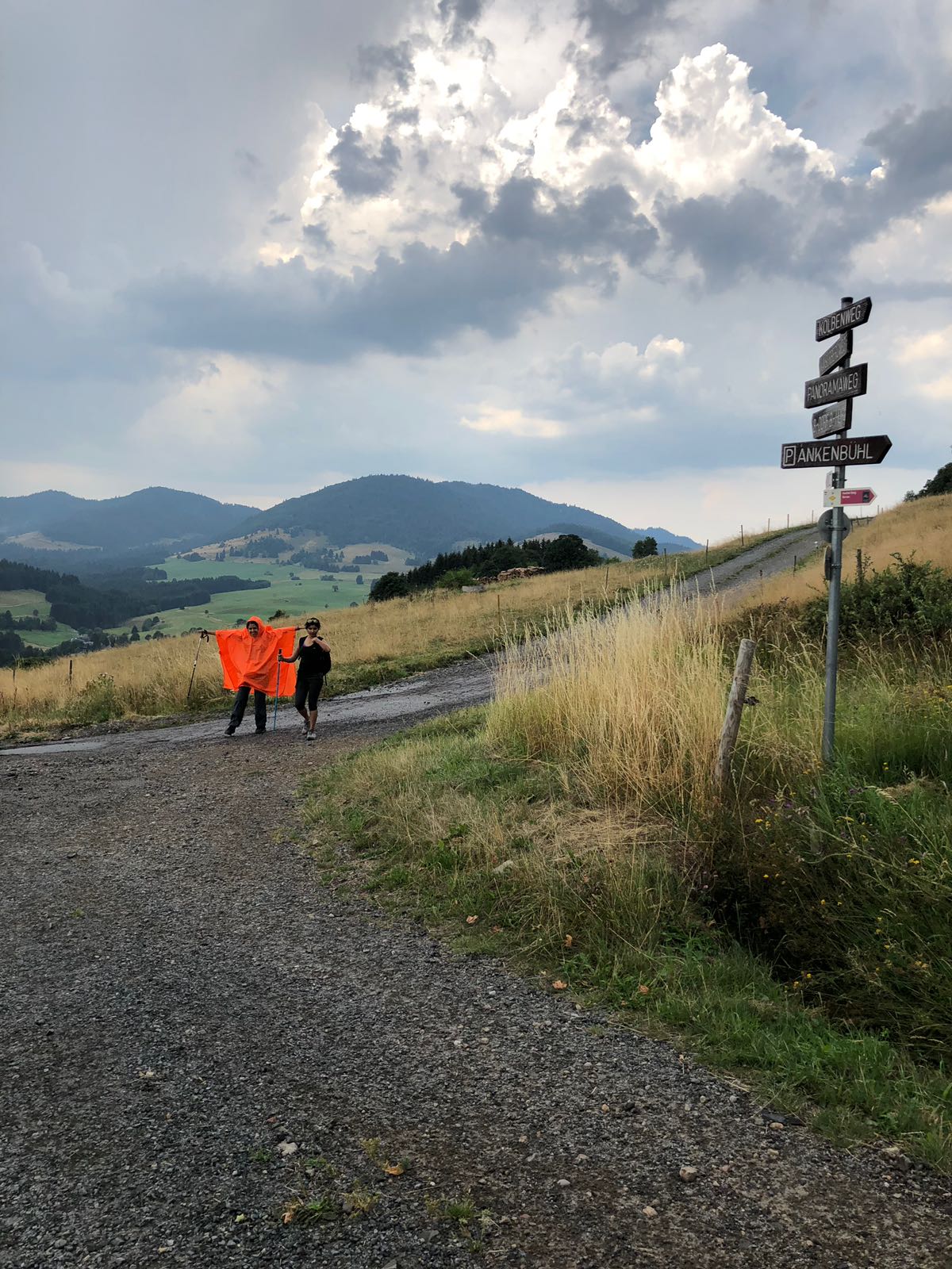
Even though it was hot weather of August, it was finally cool with a bit of of drizzle. Funnily, three of us had orange raincoat. Well, none of them took it out, but I thought where would I use that raincoat again. So, there was me with a orange raincoat.
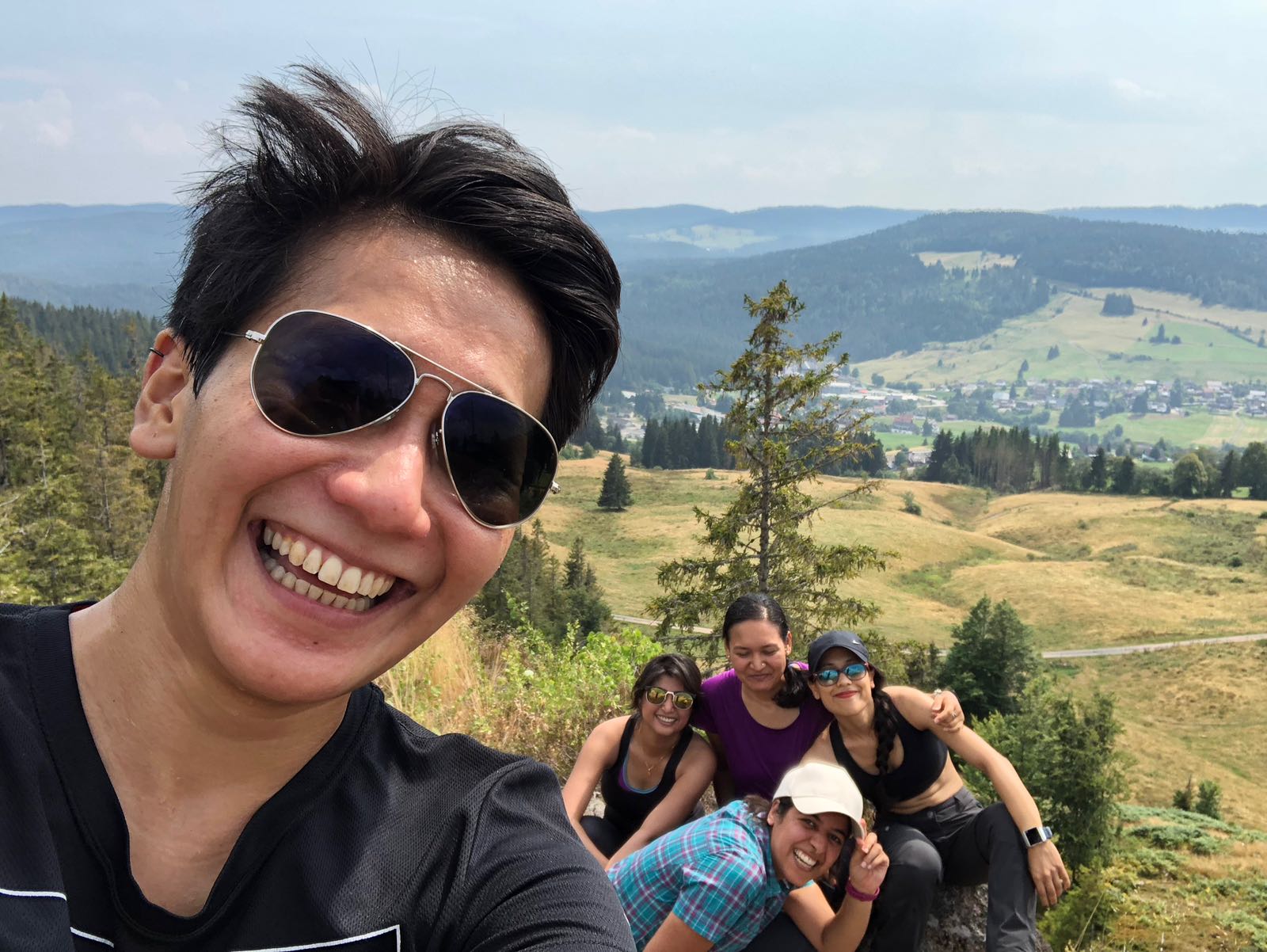
And what a waste would it would have been if we would not have a group pic at this amazing place. Btw, this would totally be our album cover if we were auditioning for a band!
I highly recommend this hike. This was a medium hike. I am a non-hiker and besides some elevations that slowed me down, it was not a difficult hike at all. But, please don’t forget your hiking boots, they will definitely help. If you are a nature lover then this is definitely the hike for you.
